Community Charter
Our Community Charter describes what you can expect from us. We recognise that communities are diverse. We'll work with you to deliver services that support liveable, inclusive and sustainable communities and thriving natural environments.
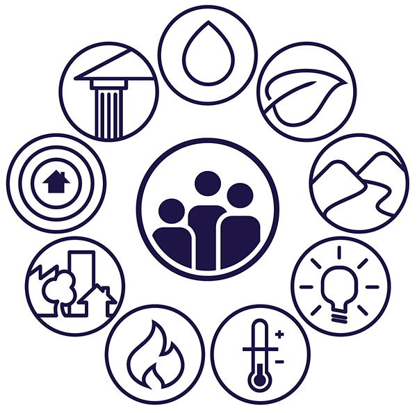
What we do
We’re focused on creating a liveable, inclusive and sustainable Victoria with thriving natural environments - where the community is at the centre of everything we do.